Views: 0 Author: Site Editor Publish Time: 2026-08-24 Origin: Site
Modern wilderness exploration presents a clear tension. We seek off-grid freedom but require practical emergency preparedness. Relying on standard smartphones in low-signal zones creates a critical safety failure point. Solo explorers, remote workers, and their families need reliable location data. However, users demand hardware that does not burden their gear loadout or introduce complex technical dependencies. A well-chosen device provides a quiet layer of safety. It enables greater confidence and unrestricted movement.
To determine if an outdoor personal tracker is a necessary investment, buyers must evaluate their specific risk profile. They must understand the fundamental differences in tracking technologies. Finally, they need to weigh operational limitations against hardware capabilities.
Network Dependency Dictates Utility: The choice between cellular and satellite technology is the primary decision factor; true wilderness environments strictly require satellite-based outdoor emergency tracking.
Battery Reality vs. Manufacturer Claims: Real-world battery performance is heavily degraded by cold weather, dense tree canopy, and high-frequency tracking intervals.
The Risk of False Security: A GPS tracker for hiking is a supplementary safety tool—it does not replace physical preparation, analog navigation skills, or self-rescue capabilities.
Deciding to carry dedicated tracking hardware requires an honest assessment of your environment and activities. A casual walk in a local municipal park presents vastly different risks than a multi-day traverse across alpine terrain. Understanding your specific use case prevents you from carrying inadequate gear or overcomplicating a simple day trip. You must break down your risk profile into tangible factors.
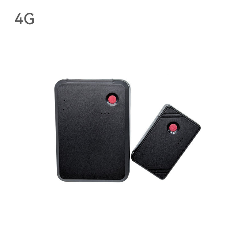
Risk profiles vary wildly based on group size, location, and the inherent danger of the activity. Solo exploration changes the safety equation entirely. Without a partner to assist in an emergency, build a shelter, or hike out for help, a solo adventurer absorbs all the risk. For solo female adventurers seeking enhanced peace of mind, a dedicated Personal Tracking Device offers a direct line to emergency services and family members, mitigating the vulnerability of remote isolation. Group travel distributes risk, but it introduces the complexity of keeping multiple people safe under varying levels of physical exhaustion.
Trip duration and environmental remoteness dictate hardware needs. Frontcountry state parks often feature overlapping cell tower coverage and high foot traffic. If you twist an ankle, help is likely nearby. In contrast, deep wilderness zones lack cellular infrastructure entirely. High-consequence sports like backcountry skiing, alpine climbing, or whitewater kayaking introduce rapid, life-threatening scenarios where immediate extraction is necessary. A minor injury above the tree line can become fatal if a winter storm moves in. Furthermore, outdoor educators, guides, and event organizers face complex group management challenges. They must monitor multiple participants simultaneously across vast distances, requiring robust tracking ecosystems rather than a single device.
Tracking devices serve the person carrying them, but they equally serve the people left behind. You must balance the user’s need for disconnection with a spouse or family member's requirement for location monitoring and reassurance. Establishing clear success criteria before heading into the field prevents misunderstandings and false alarms.
Determine the Primary Tracking Mode: Passive tracking generates automated breadcrumb trails. The device pings a location at set intervals, allowing a home contact to watch your progress on a digital map. Active tracking relies on user-initiated check-ins or SOS capabilities. You manually press a button to send a pre-written message confirming your safety.
Establish Communication Windows: Define exactly when and how often you will transmit a signal. If you agree to send a ping every evening at camp, failing to do so will trigger a response.
Evaluate Dual-Purpose Utility: Many users want a portable safety locator that also functions as an asset tracker. When you leave an expensive vehicle or valuable gear unattended at a remote trailhead, leaving a tracker hidden inside provides secondary security. You must evaluate if a single device can handle both the rugged demands of the trail and the standby battery requirements of vehicle security.
The physical appearance of a tracker tells you very little about its capability. The underlying network technology defines where and how the device functions. Misunderstanding these technologies leads to dangerous situations where users expect a rescue response in areas where their device cannot transmit a signal. You must match the technology to the terrain.
Satellite technology provides the only true global coverage. These devices utilize commercial satellite networks to transmit data from the ground to low Earth orbit. Because they do not rely on terrestrial cell towers, they function in the most remote corners of the globe, from the middle of the Pacific Ocean to the summit of Denali.
These units are best for deep wilderness exploration, remote fieldwork, and guaranteed outdoor emergency tracking. If you routinely travel beyond the final cell tower, satellite communication is mandatory. They require a clear, unobstructed view of the sky to establish a connection. Dense timber, deep ravines, and heavy cloud cover will delay signal transmission, but they remain the absolute standard for off-grid safety.
Cellular trackers rely on standard LTE or 4G networks to transmit your GPS coordinates to a server. The device calculates its position using GPS satellites, and it uses the local cellular network to send that data out with excellent efficiency and reliability.
These trackers are highly effective for frontcountry hiking, daily commuting, and international travel in developed areas. They excel in environments with verified, overlapping cell tower coverage. They feature exceptionally fast update rates, providing smooth real-time tracking because cellular bandwidth is wide and easily accessible. Taking a cellular tracker on your standard adventures ensures you have a lightweight and incredibly responsive tool for continuous location monitoring.
Bluetooth mesh devices have surged in popularity for finding misplaced items. They rely on proximity to a vast network of consumer smartphones. The tracker emits a Bluetooth signal; when a compatible phone passes nearby, the phone silently and efficiently relays the tracker's location to the internet.
Bluetooth mesh technology offers incredible convenience for tracking essential gear and belongings. These devices are remarkably viable for gear recovery in populated urban areas, bustling trailheads, or busy airports. They provide a lightweight, power-efficient, and effortless way to keep tabs on your equipment when operating in areas with high foot traffic, serving as a fantastic addition to your everyday carry.
Technology Type | Primary Network | Ideal Environment | SOS Capability | Two-Way Messaging |
|---|---|---|---|---|
Satellite Messenger | Low Earth Orbit Satellites | Deep Wilderness, Off-Grid | Yes (Active SAR routing) | Usually Yes |
Personal Locator Beacon (PLB) | Government SAR Satellites | Oceans, Extreme Remote | Yes (Direct to military/SAR) | No |
Cellular GPS Tracker | LTE / 4G | Frontcountry, Urban, Highways | Yes (In coverage zones) | Depends on hardware |
Bluetooth Mesh | Crowdsourced Smartphones | Airports, Cities, Indoors | Not Applicable (Item Tracking) | No |
Once you select the appropriate network technology, you must evaluate the physical hardware. A tracker is only useful if it survives the environment and maintains power until you need it. Scrutinize these core dimensions before trusting a device in the field.
Not all satellite networks offer identical coverage. Some networks utilize a constellation of low Earth orbit satellites providing true pole-to-pole coverage. You can transmit a signal from the bottom of Patagonia to the high Arctic. Other networks rely on regional geostationary satellites. These require you to point the device toward a specific part of the sky, which becomes difficult in mountainous terrain or at extreme latitudes where the satellite sits low on the horizon.
Environmental interference heavily impacts signal strength and transmission latency. Dense tree canopy absorbs radio frequency signals. Deep slot canyons block the device's line of sight to the sky, creating multipath errors where the signal bounces off rock walls. Heavy cloud cover and severe storms delay message transmission. You must understand how your specific environment limits the device's ability to acquire a signal and plan your check-ins around clearings or high ground.
Power management is the most critical operational variable in the field. Devices generally use either rechargeable lithium-ion batteries or user-replaceable lithium primary cells. Rechargeable units are convenient for frequent use, allowing you to top them up with a solar panel or power bank. Replaceable batteries offer a distinct advantage for emergency-only beacons; they hold a charge for years in storage and can be swapped instantly in the field without waiting for a charge cycle.
Cold weather drastically degrades battery performance. Freezing temperatures slow the chemical reactions inside lithium-ion cells, causing the voltage to drop and the device to shut down prematurely. A battery that lasts 100 hours at room temperature might die in 12 hours at sub-zero temperatures. You manage this by keeping the device in an inner pocket close to your body heat during winter expeditions, only exposing it to the cold when you need to transmit a message.
Tracking intervals dictate battery drain. Setting your device to ping your location every 10 minutes forces the antenna to constantly search for a signal, draining the battery in a matter of hours. Extending the interval to 30 minutes or 1 hour significantly increases operational uptime. In an emergency, you want maximum battery life to coordinate with rescue teams.
Wilderness gear takes a beating. Your tracking device will face rain, mud, river crossings, and impacts against rock. An absolute requirement for any outdoor tracker is an IP67 or IP68 rating. Devices without these ratings will fail during a heavy downpour.
IP67: Dust-tight and survives temporary immersion in water up to 1 meter for 30 minutes.
IP68: Dust-tight and survives continuous immersion in water beyond 1 meter.
Impact resistance is equally critical. Devices used for climbing, mountain biking, and rugged terrain must feature rubberized bumpers, recessed screens, and reinforced lanyard loops to survive drops onto solid granite. A shattered screen renders a touchscreen device completely useless.
The ability to send and receive messages changes the entire dynamic of a rescue. Two-way communication provides a massive operational advantage. If you trigger an SOS, Search and Rescue (SAR) can text you back to ask about the nature of your injuries, your exact location, and the weather conditions. This allows them to triage the situation and send the appropriate resources—a helicopter for a spinal injury, or a ground team for a sprained ankle. It also allows you to cancel false alarms if the situation resolves itself.
One-way beacons, known as Personal Locator Beacons (PLBs), transmit a powerful distress signal but cannot receive messages. They offer zero situational feedback. You press the button and simply hope someone received the signal. While they boast incredible battery life and robust transmission power, the lack of two-way communication limits their utility in complex rescue scenarios where coordination is necessary.
Selecting the right hardware involves balancing physical features against operational complexity. A device loaded with features might offer convenience, but it also introduces more potential points of failure. You must evaluate how you will interact with the device under extreme physical stress.
The physical design of the tracking device dictates usability. Devices with large, full-color touchscreens make typing custom messages easier when you are resting in a tent. Touchscreens become entirely unresponsive when covered in rain, snow, or when you are wearing thick mountaineering gloves. In a high-stress emergency, fine motor skills degrade rapidly, making small touch targets impossible to hit.
Devices with physical keyboards or simple directional pads are bulkier but guarantee functionality in severe weather. You can operate a physical SOS button with frozen fingers. Antenna size also matters. A larger, external quad-helix antenna acquires satellite signals much faster under dense tree canopy than a sleek device with a small internal patch antenna. You trade the convenience of a compact, lightweight unit for the raw transmission power of a larger device.
For specialized group tracking or localized events, open-source and radio-based alternatives exist. Technologies like LoRaWAN (Long Range Wide Area Network) allow users to set up their own localized tracking networks. This appeals to outdoor educators or event organizers who want to track multiple participants within a specific valley or race course without relying on commercial satellites.
These systems offer strict data privacy. Users maintain complete control over their server data and location history. The reality of deploying these systems in the wilderness is highly complex. They require placing physical gateway antennas on high points in the field to create a mesh network. Open-source radio trackers lack centralized, official SAR integration. Pressing an SOS button on a custom LoRaWAN device will not automatically route to a global emergency response center. They remain niche tools for localized logistics rather than primary life-safety devices.
Audit your typical outdoor environments using coverage maps to identify cellular dead zones and terrain traps before purchasing hardware.
Determine your specific hardware requirements by prioritizing battery life, antenna strength, and physical buttons over touchscreen convenience.
Establish a strict, written pre-trip communication protocol with your designated home contact to define exact emergency response triggers.
Test your device, update the firmware, and verify signal acquisition in an open area before departing for every major expedition.
A: Yes, depending on the technology. Satellite trackers communicate directly with orbiting satellite constellations, providing global coverage entirely independent of cellular networks. Cellular trackers, conversely, utilize local cell towers, providing incredibly fast and efficient real-time location updates whenever you are operating within network coverage zones. You must verify the underlying network technology of your device before entering remote areas.
A: A Personal Locator Beacon (PLB) is a one-way device that transmits a high-powered distress signal directly to government search and rescue satellites. It cannot receive messages. A satellite messenger allows for two-way text communication via commercial satellite networks. This lets you coordinate with rescue teams and update family members, providing critical situational awareness during an emergency.
A: AirTags and similar Bluetooth trackers are phenomenal tools best utilized for gear management. They rely on a vast mesh network of passing consumer smartphones to relay their location quickly. They are perfectly designed for securing equipment in urban areas, at bustling trailheads, or during transit, offering unparalleled convenience and energy-efficient tracking for your valuables.
A: You can, but it is highly inefficient. Personal trackers are optimized for active movement, requiring a clear view of the sky and frequent charging. Dedicated asset trackers are built with massive standby batteries and designed to transmit through metal and glass while hidden deep inside a vehicle chassis.
A: Yes. Freezing temperatures severely degrade lithium-ion battery performance. The cold slows internal chemical reactions, causing rapid voltage drops and premature device shutdown even if the battery indicator shows a full charge. You must keep the device warm in an internal pocket close to your body heat during winter expeditions.
A: Under an unobstructed sky, GPS triangulation is typically accurate within 3 to 10 meters. However, environmental factors heavily degrade this accuracy. Deep slot canyons, dense tree canopy, and heavy cloud cover block satellite signals. This interference causes location drift, delayed message transmission, or a complete failure to acquire a GPS lock.